16,830 square kilometres (4.92 per cent of the State)
Location
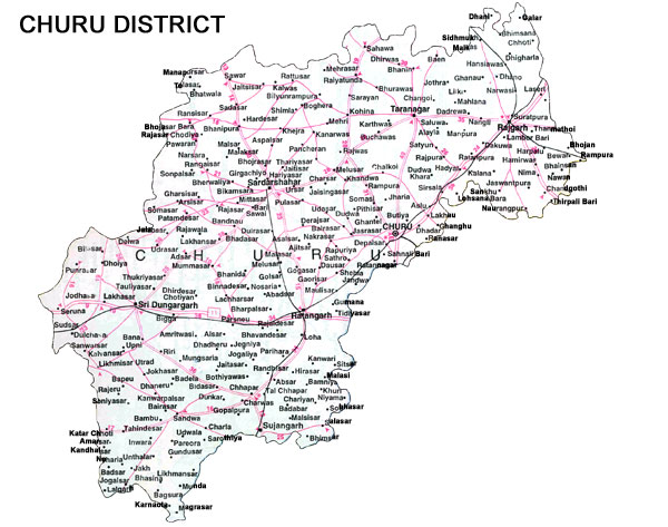
The district is located in the North-Eastern Rajasthan. It is bounded by Sri Ganganagar district in the North, by Sikar and Jhunjhunun and Hissar district of Haryana in the East, by Nagaur in the South and in the West by Bikaner.
Distance from Major Cities
Jaipur -189 kms.
Delhi -282 kms.
Ahmedabad-814 kms.
Mumbai-1365 kms.
Climate and Rainfall
The district has dry climate with large variation in temperature.
The minimum and maximum temperature varies from 0.5 to 48.2 degree celsius
The normal rainfall is only 32.8 cm.
Human Resources
Indicators of Human Resources
Unit
No.
Population
persons
19,22,908
Density of population
persons per sq. km
114
Literacy
per cent
66.97
Working Population
per cent of population
29.50
Percentage distribution of work force
Unit
No.
Cultivators
per cent
73.17
Agricultural labourers
per cent
3.16
Household industry manufacturing
Unit
No.
Processing, servicing and repairs
per cent
2.26
Other workers
per cent
21.41
Major Crops and their Production
Sr.
Production 2004-05
Tonnes
1
Kidney bean (Moth)
130801
2
Gram
107659
3
Bajra
78283
4
Rapeseed & Mustard
38046
5
Wheat
37107
6
Guarseed
18923
7
Groundnuts
16870
8
Green gram (Moong)
11056
9
Barley
3622
10
Rapeseed
1733
11
Fenugreek seed
1508
12
Cumin seed
589
13
Cowpea (Chowri)
272
14
Psyllium seeds
105
15
Linseed
45
Infrastructure
Electricity
Power supply to the district is from Bhakra hydel Complex through 132 KV lines coming via Hissar in Haryana. of the total 926 vilalges in the district, 902 villages have been electrified.
Water
Water is available at the depth of 30 to 48 metres except in some places viz. Sujangarh and Tonaragarh tehsils.
Road Transport
The district has good conections within and ouotside the State. National Highway No.11 (Agra-Bikaner) passes through the district. The total length of roads in the district is 3,010 km.
Rail Transport
Churu district is served by meter gauge lines of Northern and Western Railways. Total length of rail line is 363 km.
Air Transport
Nearest airport is at Jaipur (189 km.)
Communication Facilities
Sr.
Communication Facilities
No.
1
Post offices
392
2
Telegraph offices
89
3
Telephone exchanges
83
4
Public call offices
682
Banking
Offices, Deposits and Credit as on Sep 2005
Offices (No.)
Deposits (Rs.Lakh)
Credit (Rs.Lakh)
All Scheduled Commercial Banks
111
97500
46200
Public Sector Banks
54
77800
39500
SBI and its Associates
19
34800
15200
Nationalised Banks
35
43000
24300
Foreign Banks
-
-
-
Regional Rural Banks
55
18000
6500
Other Scheduled Commercial Banks
2
1600
300
Educational Facilities/Institutions
Sr.
Educational Facilities/Institutions
No.
1
Primary and middle schools
1470
2
Secondary and higher secondary schools
207
3
ITIs
3
4
Post graduate and under graduate
11
Industrial Scenario
No. of Large and Medium Scale Units: 2
No. of Small Scale Units: 3,963
No. of Industrial Areas: 6
Churu
Ratnagarh
Sadulpur
Sardarsahar
Sri Dungargarh
Sujangarh
Main Industries
Aluminium utensils, Blanket Weaving, Cement, Churan and Chatni, Guargum, Handicraft items on Sandal Wood, Handloom Cloth, Iron and Steel Fabrication, Oil Mills, Papad and Mangori, Polythene Films and Bags, Salt, Sand Lime bricks, Steel Furniture, Toilet and Washing Soap, Woollen yarn.