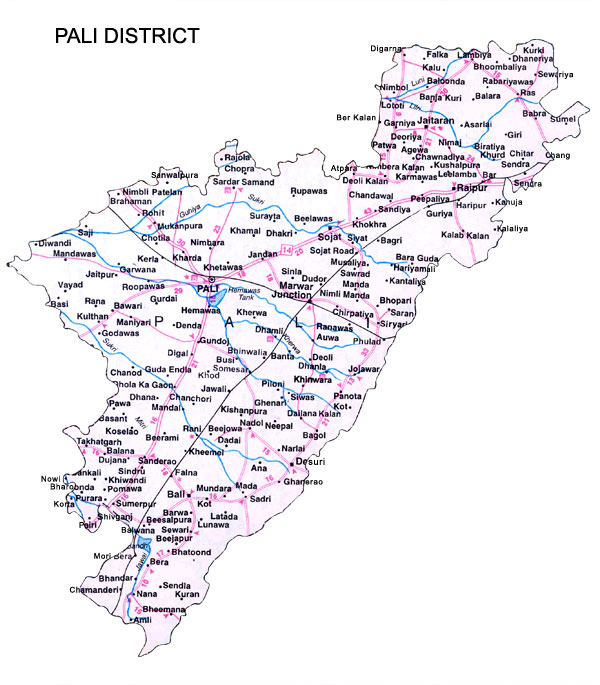
The district shares common border with seven districts of Rajasthan. In the north, it is bordered by nagaur and Jodhpur districts, in south east by Udaipur and Rajsamand districts, and in the north east by Ajmer district. Sirohi and Jalore are on the south west and west respectively.
Distance from Major Cities
Jaipur-303 kms
Delhi-64 kms
Ahmedabad-309 kms
Mumbai- 860 kms
Climate and Rainfall
Average maximum temperature recorded is 41 degrees celsius.
Average minimum temperature is 10 degrees celsius.
Average rainfall received is 49cms.
Administrative Setup
There are four sub-divisions in the district namenly Pali, Bali, Sojat and Jaitaran. They are divided into seven tehsils.
Human Resources
Indicators of Human Resources
Units
No.
Total production
persons
18,19,201
Density of population
persons per sq.km.
147
Literacy
per cent
54.92
Total working population
per cent
31.11
Percentage distribution of work force
Units
No.
Cultivators
per cent
50.00
Agricultural laborers
per cent
14.34
Household industry manufacturing, processing
-
-
Servicing and repairs
per cent
10.93
Other workers
per cent
24.73
Major Crops and Their Production
Sr.
Production 2004-05
Tonnes
1
Bajra
65,490
2
Wheat
43,650
3
Jowar
39,890
4
Rapeseed & Mustard
29,160
5
Maize
22,350
6
Barley
2,800
7
Ground nut
1,150
8
Gram
1,390
Mineral Production
Sr.
Production 1999-00
Tonnes
1
Felspar
1,867
2
Quartz
356
3
Marble
17,896
4
Raiolite
10,125
5
Masonery stone
7,972
6
Gypsum
37,936
7
Asbestos
3,233
8
Limestone
22,43,000
9
Ballclay & white clay
435
10
Granite
830
11
Magnesite
385
12
Kaolin
25
Infrastructure
Electricity
The district gets power from Bhilwara, Sirohi, Jodhpur & Beawar through 132 kv transmission lines. There are 6 grind sub-sections & 4033 kv sub-stations in the district. All the 904 villages in the district has been electrified. The number of power connection released as on March 2000 is 1,81,067.
Water
Luni river is the only major river in the district. Four tributaries viz. Lilri, Sukri, Bandi and Jawal discharge their water in river luni. There are a number of tanks and five small dams in the district for irrigation purposes. Ground water occurs in the bed rock formations in area around Pali, Kahirala, Bhetnada and Sojat.
Road Transport
The district has direct road connections with other districts of the state. All the tehsil headquarters and important towns of the district are connected with each other by metallic roads. The National Highway No.8 linking delhi and ahmedabad passes near the boundary of pali district. The total length of roads in the district is 4,544 cm as on 31 March 2000.
Rail Transport
Rail trasnport is directly connected with Jodhpur and Udaipur. Marwar junction, Rani and Bali towns fall on the meter gauge Jaipur-Ahmedabad line. The total length of railway lines in the district is 264 kms.
Air Transport
The nearest airport is at Jodhpur (72 kms.)